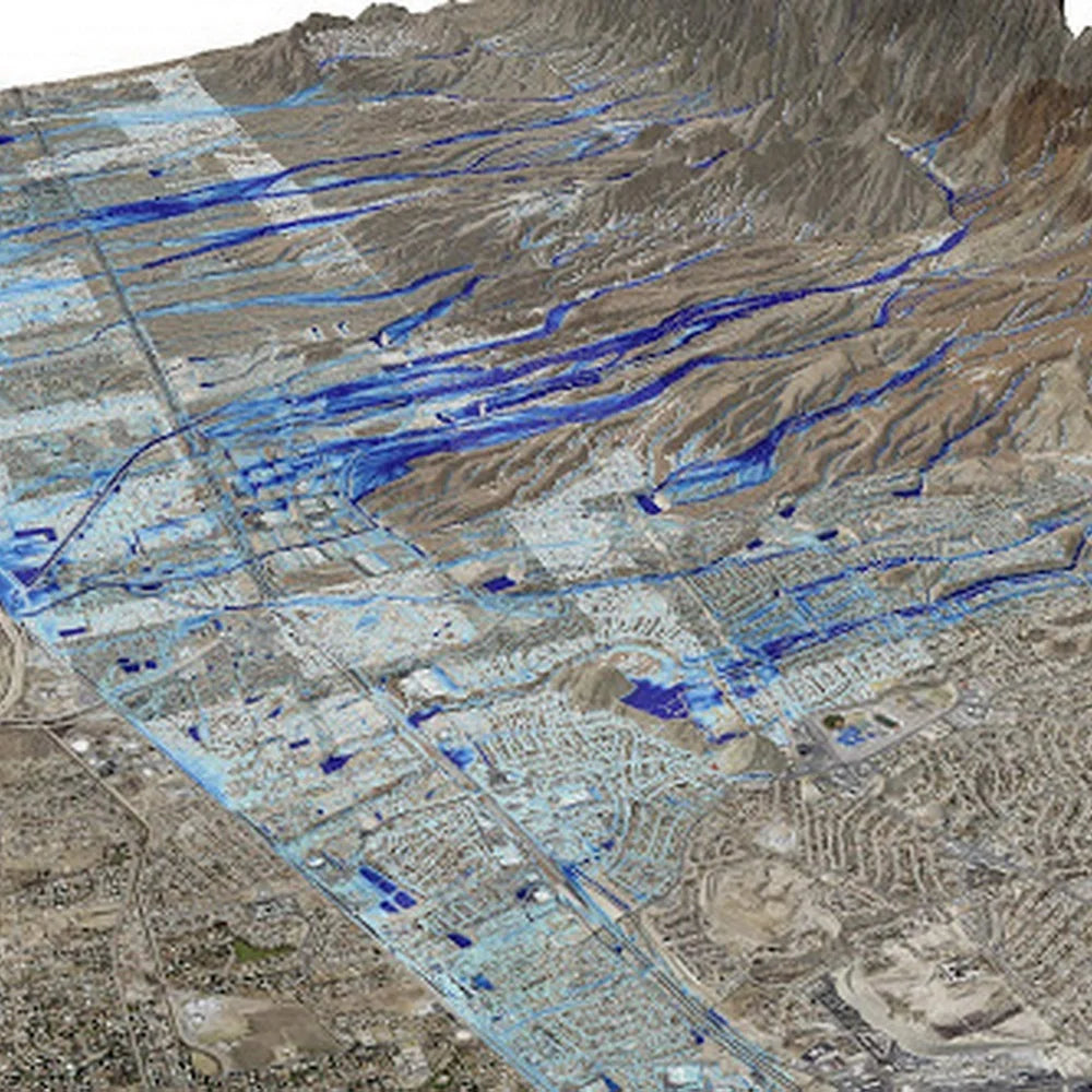
HYDROLOGICAL STUDIES AND FLOOD RISK ASSESSMENT
The hydrological study and the assessment of flood risks consist of metrological studies, analysis of morphological rain data, hydrological modeling and hydraulic calculations for the study area in order to extract the paths of the valleys and drainage basins affecting the study areas, and to check the paths of valleys and reefs deduced from the analysis of the digital elevation model with the inferred paths within the field cadastral so that the basins are determined Drainage affecting the study area and determining the exit point of each basin in proportion to the study area to reach the protection works from the dangers of torrential rains (open channels, box channels, ferries, storage basins). hydrological study and the assessment of flood risks consist cover the following:
- Metrological study and analysis of rainfall data.
- Modeling of water bodies and simulation of the flood hypothesis.
- Extracting morphological data for wadis drainage basins affecting the study area.
- Accurate surveying of valleys, reefs and water courses affecting the study area.
- The use of various hydraulic calculation programs in the hydraulic design work, in order to protect against the dangers of flooding (open channels, box channels, ferries, storage basins).
- Compiling the surface geology maps of the study area, the surrounding places, and the drainage basins affecting the study area.